NTN Trails Application
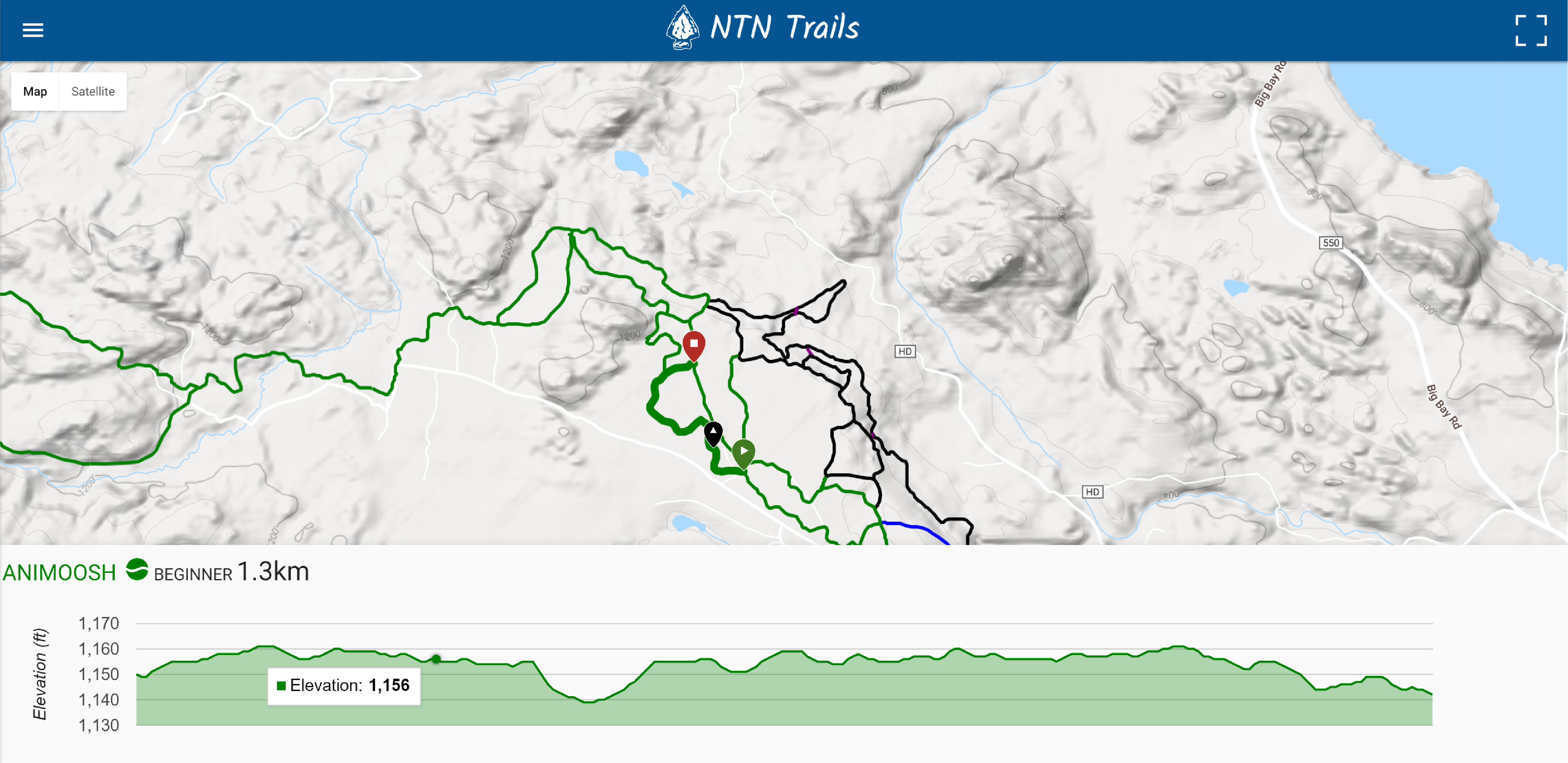
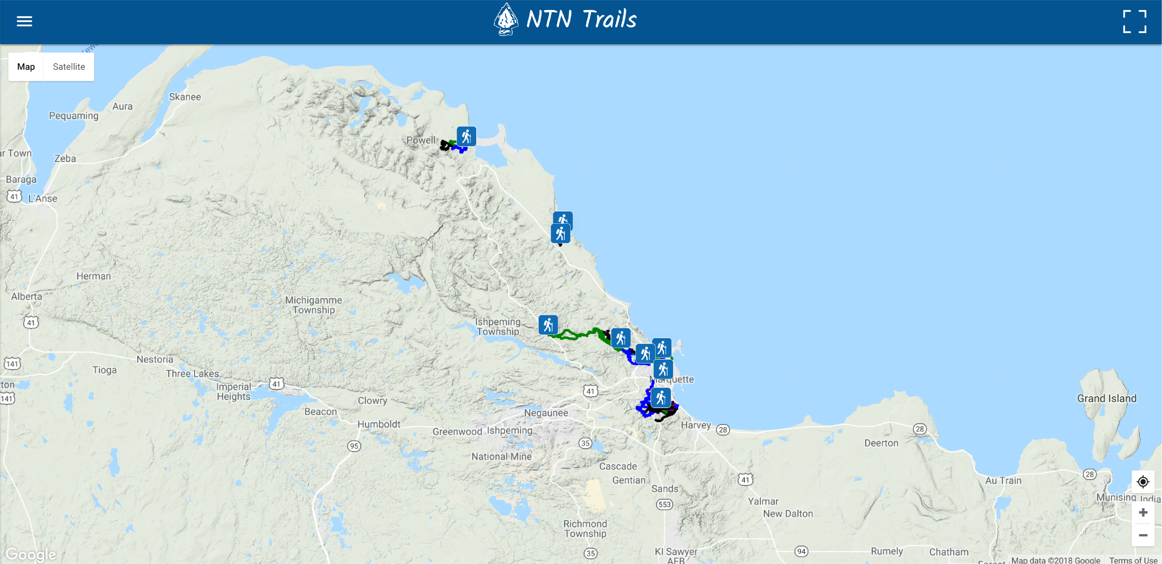
This web map application was created as a final Master's degree project at UW-Madison and for the Nonquemonon Trail Network (NTN) as contract work. The application is meant to be used on both web and mobile devices. The application consists of a map with the NTN's ski trail system and various pages such as a weather widget, an About page, and a page pushing towards membership. The map is meant to provide a source of information to people that like to ski, snowbike and snowshoe in Marquette, Michigan. The map displays information about each trail such as the trails difficulty, it's length, name, and elevation along the trail. The user can also get their GPS location for real-time on-trail navigation. This application was built using the Materializecss framework and the Google Maps JavaScript API and Google Maps Elevation API. Click Here to view the interactive map!

